Some of you will have been on a safari holiday, maybe to Kenya and its famous Masai Mara National Reserve. But you will perhaps be surprised to learn that the maps and guides currently used in the “Mara” originate in Scotland, and specifically with David and Rosemary Watson, who last June moved into a flat at Cardross House. The story is unusual. Both are Geography graduates, who met as postgraduate students in Uganda, over 50 years ago. On their return to Scotland, David became an orienteer, in the Scottish team, and during his 20s and 30s an avid orienteering-map-maker.
Fast-forward 30 or 40 years to 1999, and the Watsons were in Kenya’s Masai Mara, where, despite David’s “super-navigator” orienteering experience, they managed to get lost. And naturally, David blamed the inadequate maps. On returning to Nairobi, the following week, David visited the Kenya Wildlife Service, offering to help upgrade the survey of their reserves, and to his great surprise, was offered 5 national parks to map. Undaunted, and with virtually no resources, he set to, starting with nearby Nairobi National Park and the rest, as they say, is history.
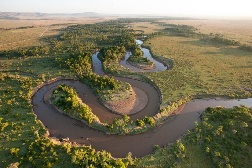 17 years on, and David has mapped numerous national parks, in Kenya and Tanzania, and has written a range of travel books and guides. For some years, he was the East African writer for Thomas Cook. Now he concentrates on the Masai Mara, one of the world’s most iconic wildlife areas, especially famous for its annual migrations of wildebeest. He and Rosemary combine as a team, David – the map-surveys, the writing and much of the photography, with Rosemary – graphics and design, and some photography, especially of birds. In the Masai Mara, their publishing company, Photoprint Scotland, produces an atlas of the ecosystem, conventional maps and an official guide. Currently they are working on a new official guide to the Masai Mara National Reserve, to be published at the end of 2017.
Which goes to show, getting lost can turn out to be one of life’s most positive experiences.
David Watson
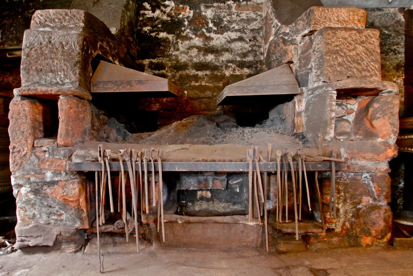 A photograph of the hearth has kindly been supplied by Andrew Tweedie of National Trust for Scotland.
 I often post cute or funny pigtures on Facebook but, remember, it is just a moment… it is like owning 2 toddlers (except for the size but definitely the mentality). They are very inquisitive about everything and anything so when they are left unattended, outside their paddock, I always expect to find total destruction on my return… fences, buckets, anything not pinned down! They are very smart so if you don’t have their area secure…. They WILL find a way out!
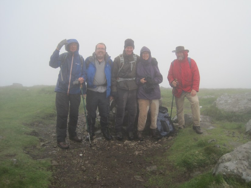 No previous experience is required just a pair of good boots and a stout heart. The specific hill is chosen to suite the walkers and weather. For instance, recently (18th December) we went up above Braeval to the Trig point on the Menteith Hills. A short(ish) walk on a misty day, to suit those who had been out supporting OldPlay in the Cross Keys all night! Which brings me perfectly to identifying our “Club House” – aka Cross Keys. Hills are often selected over a Friday teatime pint, and on occasion it is important to “assess the day” on the way home.
 Communication has so far been mainly by word of mouth, but we are looking at setting up a Gmail account to allow coordination. There is also a